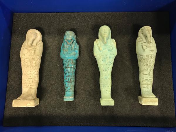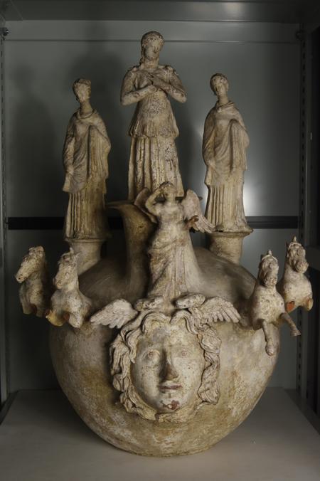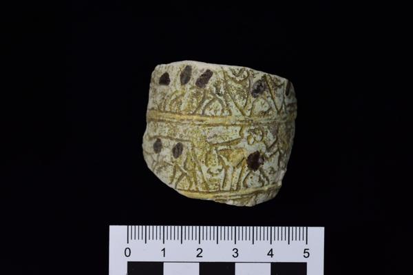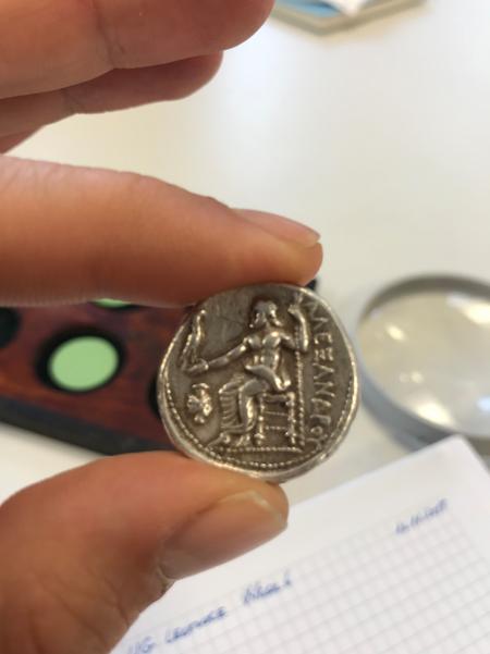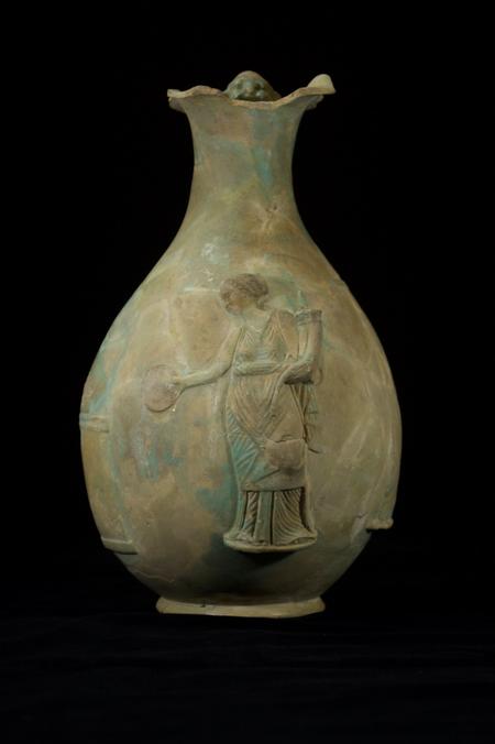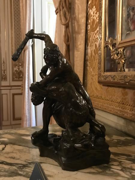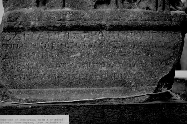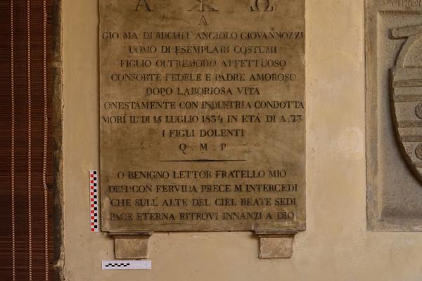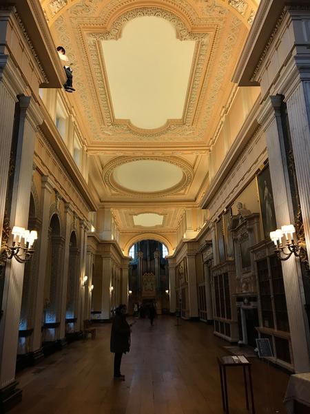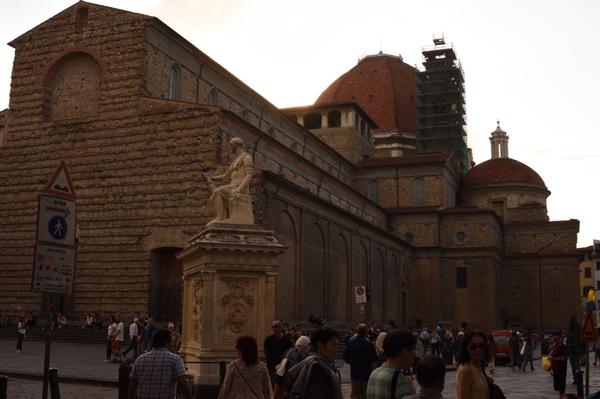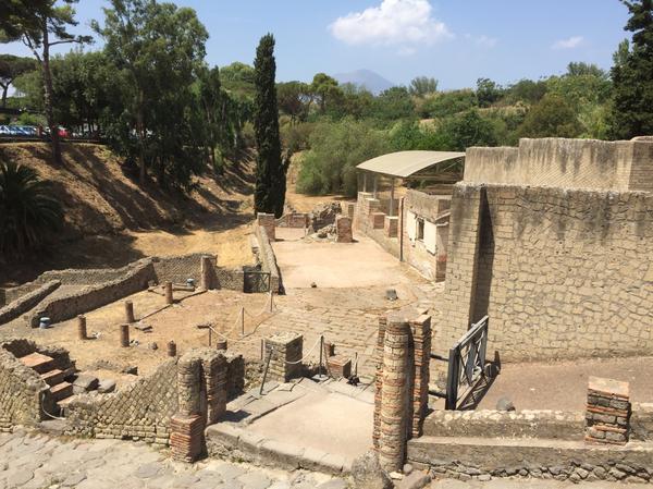

DynaPloutos ArchaeoPhotography (DPAP) is able to provide a series of professional and highly specialised high quality and high resolution archaeological photography and imaging services. Digital imaging to create built structures, archaeological contexts and remains based on data from several sources, including LiDAR, Photogrammetry, Survey Data, 3D Modelling and Visualisations along with archaeological context data, GEOReferencing and GIS will be available as soon as possible as part of our developing enhanced services. For services related to GIS, GEOReferencing and Photogrammetry, we will be deploying QGIS and AgiSoft Metashape Softwares.
General Inquiries
E-mail: inquiries.archaeophotography@dynaploutos.com
Services & Support
E-mail: services.archaeophotography@dynaploutos.com
*We are currently in the process of relocation. Once our relocation is completed and our address is confirmed, our team will announce it on our website for your convenience and reference. Meanwhile, we apologise for any inconvenience in advance. Thank you for your understanding and your patience.
DynaPloutos ArchaeoPhotography Team
Explore a featured selection of my available services below.

All Images © Kerim Alyot 1996-2024. All Rights Reserved.
